Konya Ovası YAS
Ensuring the sustainability of agriculture in the Konya Plain, which holds great significance for our country's agriculture, and protecting the existing underground water resources has become a crucial task, especially when considering current climate conditions.
For this purpose, the "Investigation of the Konya Closed Basin Underground Water Potential and Future" project was launched in 2016 through a protocol signed between the 4th Regional Directorate of DSİ (Konya) and the KOP Regional Development Administration (KOPBKİ).


Konya Closed Basin Groundwater Monitoring and Management System
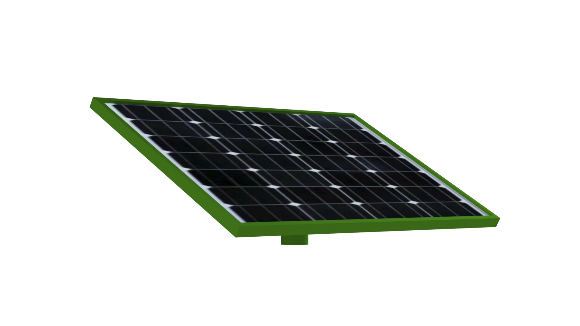
Known as the granary of Turkey, the Konya Closed Basin plays a critical role in our country’s agriculture and has 13% of its irrigable land. However, groundwater resources in this region are gradually decreasing due to unconscious use, climate change and fluctuations in annual rainfall. In recent years, large-scale sinkholes observed in Konya are a clear indication that groundwater is rapidly depleting and that these resources must be managed sustainably. In this context, the Konya Closed Basin Groundwater Potential and Future Research Project has been launched. The project uses innovative technologies and domestic production solutions for the efficient management of groundwater resources, enabling instant monitoring, analysis and future strategies for groundwater levels in Konya. Within the scope of the project, specially designed, maintenance-free single-body sensors were used to measure groundwater level, temperature and electrical conductivity (EC). These sensors continuously monitor groundwater resources and enable online tracking of data in an integrated manner with Domestic Production Industrial Data Management Devices. The three basic parameters measured by these sensors – water level, temperature and conductivity (EC) – make groundwater management effective and enable regular reporting of data and analysis with instant comparative graphs. These sensors, installed in 122 groundwater observation wells in Konya, transmit instant data to the DSI General Directorate via GSM line and are transferred to the central database. In this way, changes in groundwater level, temperature increases and salinity level of water can be continuously monitored. Thanks to the low energy consumption provided by the system, an environmentally friendly solution is offered by providing power with solar energy systems. In addition, these portable systems can be moved to other observation wells when necessary, increasing the flexibility of the data collection process. The system, which was completed in 2019, has been an important step towards ensuring the sustainability of groundwater use in the Konya Closed Basin. This system aims to analyze the relationship between changes in water levels and water withdrawals, to reveal water relations between sub-basins within the basin and to make groundwater management more efficient in general. Thus, thanks to the cooperation with DSI and KOP Regional Development Administration, a future road map is being created for the protection and efficient use of groundwater resources in Konya.
Taking precautions will become easier
Measurement systems protected in reinforced concrete portable cabins minimize external intervention. In addition, in cases where the well becomes unusable or requires renovation, the cabins can be removed and mounted on another well. DSI General Manager Mevlüt Aydın, who stated that groundwater is of great importance for the Konya Plain, which is one of the places that hosted the first agricultural lands in the world and grew the first agricultural products, said, “Thanks to the system that will provide data in many areas such as the characteristics of groundwater in the Konya Closed Basin and the Upper Sakarya Sub-Basin, the effect of precipitation on groundwater, and level changes due to agricultural irrigation, the current situation will be revealed and future projections will be developed.” Aydın, who said that the data of each station is instantly transmitted to the imaging center and that the changes in groundwater are instantly recorded, said, “The system will provide us with very valuable information for many years, and we will make decisions and produce projects in light of this information. Because we know the importance of every drop of water and want to plan every drop of water.” He concluded his words by saying.

Project Implementation Stages

1. Stage Installation and Integration of Groundwater Monitoring Sensors
In the first phase of the project, specially designed sensors were placed in 122 groundwater observation wells within the borders of Konya province. These sensors were developed as three-parameter sensors that can measure water level, temperature and electrical conductivity (EC). These sensors continuously monitor important parameters such as water level, temperature and salinity and transmit this data instantly to the DSI General Directorate via GSM line. The sensors offer long-term stability with their maintenance-free, single-piece (monolithic) designs. The wells where these sensors are placed are fed by solar energy systems, providing an environmentally friendly solution. Solar energy has increased sustainability in energy consumption by ensuring the independent operation of the devices. In addition, thanks to the portable structure, all equipment can be moved to another well if necessary.

2. Stage Data Collection, Management and Integrated Systems
Locally produced Industrial Data Management Devices were used to collect groundwater data regularly, accurately and continuously. These devices measure level, temperature and electrical conductivity (EC) parameters and transmit the data to the central database in real time. The system works integrated with the SQL database, ensuring that all data is stored and analyzed securely. These data management devices show high performance with low energy consumption. In addition, the devices operate on solar energy and parameters such as data collection frequency and alarm thresholds can be adjusted remotely. The devices also have a 16 GB memory and store data in a way that allows for both instant and retrospective analysis. Mobile access and remote management capabilities allow field personnel and other stakeholders to easily track data.

3. Stage Data Analysis, Reporting and Alarm Systems
Toplanan veriler, hem görsel hem de sayısal olarak işlenir ve sistem, anlık veri takibi ve karşılaştırmalı grafikler oluşturur. Bu raporlar, su seviyesi, sıcaklık ve iletkenlik (EC) gibi üç temel parametreye göre ayrıntılı şekilde analiz edilebilir. Raporlar, çeşitli formatlarda alınabilir ve kullanıcıya sunulabilir.Sistemdeki her bir ölçüm noktası için alarm eşikleri belirlenebilir. Örneğin, su seviyesi kritik bir seviyeye ulaştığında veya tuzluluk (EC) değeri yükseldiğinde, sistem anında uyarı gönderir. Bu alarm, e-posta, SMS gibi farklı kanallar üzerinden ilgili yetkililere iletilir. Bu sayede, acil durumlarda hızlı ve etkili müdahale mümkün hale gelir. Ayrıca, veri analizi sonucunda elde edilen bilgiler ışığında, yıllık, aylık veya günlük raporlar oluşturulabilir.
4. Stage Sürdürülebilir Su Yönetimi ve Geleceğe Yönelik Stratejiler
Strategies The obtained data is used to determine the relationship between changes in water levels, water withdrawals and other critical parameters over time. In this way, the sustainable use of groundwater potential in the Konya Closed Basin is ensured. This data will form the basis for the preparation of a roadmap for the coming years by DSI and KOP Regional Development Administration. In the later stages of the project, groundwater data will be integrated with the management of agricultural activities in the region and water saving strategies, supporting the efficient use of water resources. In addition, the groundwater map can be updated with the data provided by the system, and thus the management of water resources can be made more effective.
Konya Ovası YAS Products We Use